iPhone app · Android web
Scooter navigation across the Netherlands
Free scooter navigation for snorfiets (blue) and bromfiets (yellow). Legal NL routes, Amsterdam and Utrecht rijbaan zones, turn-by-turn on scootmaps.nl.
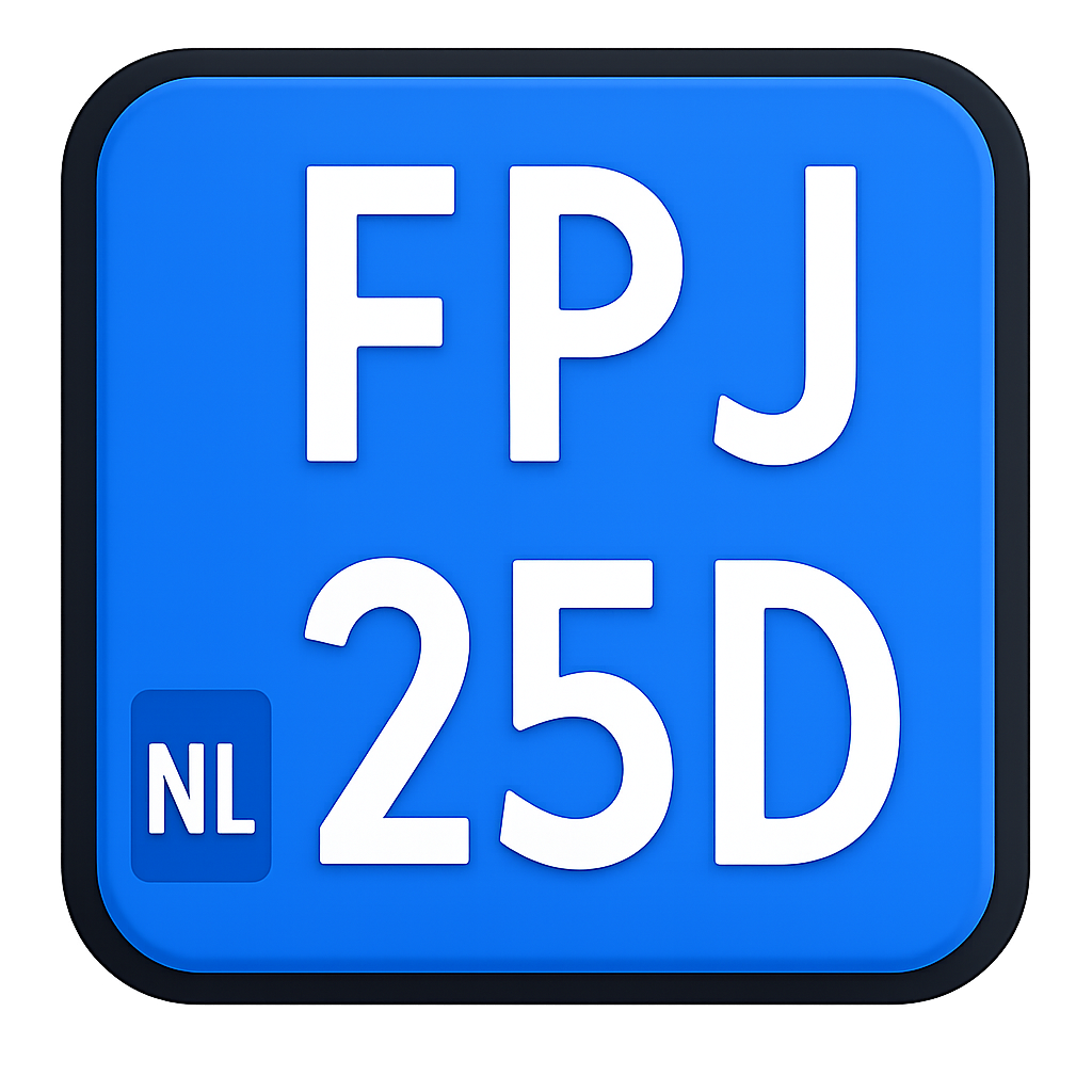 Snorfiets
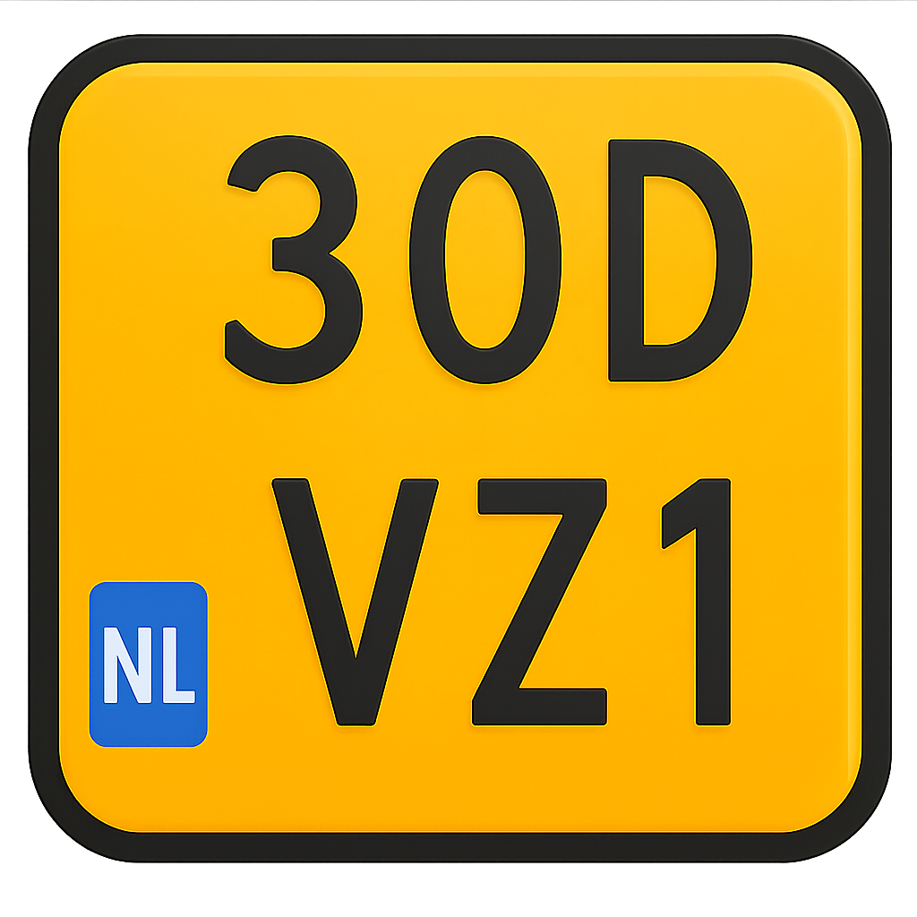 Bromfiets
iPhone · Android

One trip, two plates
Same A to B. Different roads.
Carriageway · 45 km/h
Your yellow plate belongs on the main road. Scootmaps routes you there, never through plain cycle paths.
Cycle path · 25 km/h
Your blue plate stays off the carriageway where the law allows, signed paths and legal shortcuts only.
The app
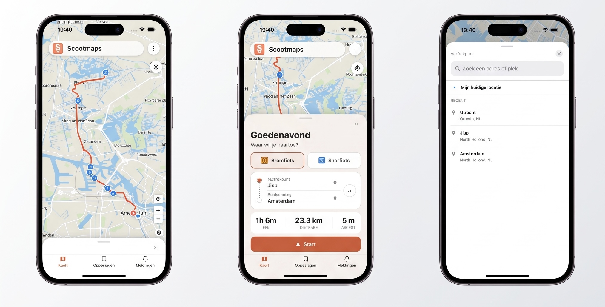
From search to start in seconds
Pick snorfiets or bromfiets, set your route, and see time and distance before you ride, built for Dutch scooter rules.
Now available
Scootmaps is on the App Store
Download the iPhone app for snorfiets and bromfiets navigation — routed for your plate. Tap the App Store badge or the button below.
Legal routes for every plate.
Legal by design
Routing built on Dutch traffic law for both plate types, not car navigation with a scooter icon.
Real traffic signs
Live NDW road-sign data warns you before a closed road or a path you are not allowed on.
Fewer fines
Routes follow where your plate may ride, so you avoid cycle paths and carriageways that can cost you a ticket.
About Scootmaps
Scootmaps was founded by Roy and Milan with one clear mission: to make riding a scooter in the Netherlands simpler, safer, and clearer.
Standard navigation is built for cars, cyclists, or pedestrians, not for snor- and bromfiets riders. On the road it is not always clear where you may ride or which route is smartest.
Scootmaps helps you find the right route, understand where you may ride, and move through the city with confidence.
Stop searching. Start riding.
Scooter guides
Everything about snorfiets and bromfiets in the Netherlands, rules, routes, and tips.
- Snorfiets vs bromfiets: which scooter is right for you in 2026?Blue or yellow plate: speed, where you may ride, insurance and comfort. Clear snorfiets vs bromfiets comparison for buyers in the Netherlands.Read more →
- Why Google Maps gives the wrong route for your scooterCar, bike and walk modes miss Dutch scooter law. What a snorfiets and bromfiets navigation app must get right, and how to pick one.Read more →
- Snorfiets helmet law in the Netherlands: rules: fines and what to buySince 2023 every snorfiets rider and passenger needs an approved helmet nationwide. What is legal, the fine, and how it differs from bromfiets.Read more →
Questions, answered
- What is the difference between snorfiets and bromfiets?
- A snorfiets has a blue plate and may not exceed 25 km/h - it usually rides on cycle paths. A bromfiets has a yellow plate, may reach 45 km/h, and must use the carriageway except on signed fiets/bromfietspaden (G12a).
- When must snorfiets riders use the carriageway in Amsterdam?
- Inside the Amsterdam A10 ring, snorfiets riders must use the carriageway on most streets unless signs say otherwise. Scootmaps plans routes over the rijbaan automatically in that zone.
- Can a bromfiets ride on a normal cycle path?
- Only on paths signed G12a (fiets/bromfietspad). A standard G11 fietspad is for cyclists and snorfiets only - bromfiets must use the road beside it.
- Why does Google Maps give the wrong route for my scooter?
- Google Maps has no snorfiets or bromfiets mode. Car mode sends bromfiets onto motorways and fast roads where it is banned; bike mode sends snorfiets onto paths where rijbaan is mandatory in Amsterdam. Use a scooter-specific app like Scootmaps.
- Is Scootmaps free?
- Yes. Route planning is free at scootmaps.nl and in the iPhone app on the App Store. Pick snorfiets or bromfiets and plan your route.
- Is a helmet mandatory on snorfiets in the Netherlands?
- Yes, since 1 January 2023 nationwide. Both rider and passenger need an approved moped helmet (ECE 22.05/22.06) or speed-pedelec helmet (NTA 8776). The fine for riding without one is around €120.